

{ S.I.W. Route Library }
Ride Captains: SIW has hundreds or routes available throughout our home counties! When planning a ride, please check this library first to see if your intended route has already been created (having a Ride with GPS link &/or a printable cue sheet). If you have any questions about routes or need help finding a suitable option, please contact one of our ride schedule coordinators.
If your route has a minor change to an exiting route, a new entry will not be added here, but if it is substantially different and it will be used again on future schedules, e-mail the webmaster to ask for it to be included.
Skip to routes organized by starting locations:

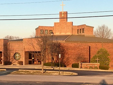
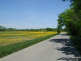
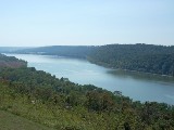
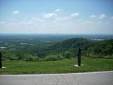
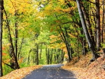
Come see some of the beautiful scenery SIW calls home!

Changes to route naming:
We are revamping the route naming system to make it easier to know where a ride starts. Here is the key:
- First 3 letters = STARTING PLACE
- BER = Berry Twist
- BIG = Big 4 Bridge
- BSM = Bradford (St Michaels)
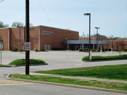
- CMS = Charlestown Middle School
- COR = Corydon Culvers
- COV = Covered Bridge Golf Center
- EEB = East End Bridge (lot near path)
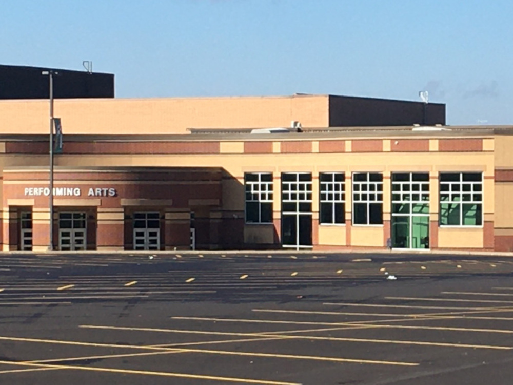
- FCF = Floyd County Fairgrounds
- FCH = Floyd Central High School
- FDC = Forest Discovery Center
- FTP = Faithpoint Church
- GCP = Garry Cavan Park (Edwardsville Park)
- GRC = Graceland Church
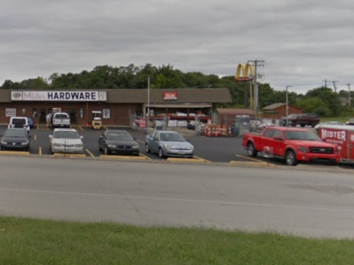
- GTN = Georgetown (exit 118 Marathon/Mr Hardware)
- HSF = Henryville High School / State Forest
- LAN = Lanesville Schools
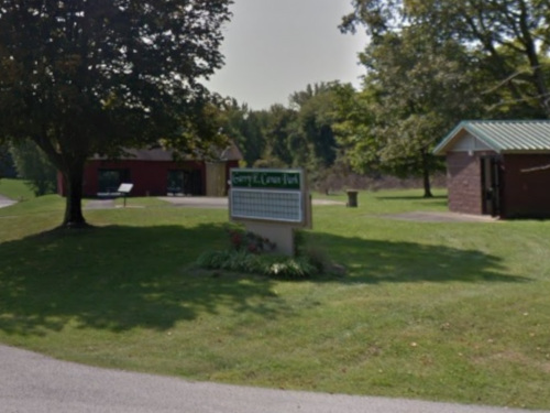
- LTW = Letty Walker Park
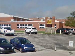
- MCD = McDonalds (Sellersburg)
- MLT = Memphis Loves Truck Stop
- NAL = New Albany (Market Street near Hampton Inn)
- PER = Perrin Park
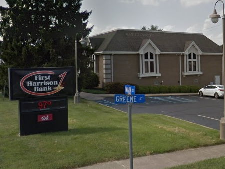
- PLA = Palmyra First Harrison Bank (Rts 150 and 135)
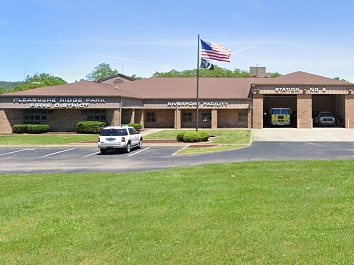
- PRP = Pleasure Ridge Park Fire Training Center
- RVR = River Ridge Subway (near Nu-Yale)
- SCY = Scott County YMCA
- SCH = Silver Creek High School
- SIV = Southern Indiana Visitors Center
- SPD = Speed Memorial Church (or Speed Park)
- STL = Starlight (St Johns Church)
- STM = St Marys of the Knobs
- UTP = Utica Park
- VSP = Vissing Park (Jeffersonville)
- Three numbers = APPROXIMATE RIDE LENGTH
- Last letter (A - Z) = Differentiates between routes of the same length at same starting place
| Selected SIW Routes | |||||||||
|---|---|---|---|---|---|---|---|---|---|
| STARTING LOCATION | CUE SHEET |
DOWN LOAD |
ROUTE NAME | DIST | GAIN | FT/ MILE |
MAX GRADE |
TER | |
 |
Berry Twist Park along Scottsville Rd. Elev: 774' |
BER025A | St. Mary's Loops | 25 | 1004 | 41 | 7% | 3 | |
| BER045A | Borden | 45 | 2132 | 47 | 18.6% | 3+ | |||
| STARTING LOCATION | CUE SHEET |
DOWN LOAD |
ROUTE NAME | DIST | GAIN | FT/ MILE |
MAX GRADE |
TER | |
 |
Big 4 Station (Mulberry Street) Elev: 446' |
BIG034A | Bridge to Bridge - Short | 34 | 1156 | 35 | - | 2 | |
| BIG039A | Bridge to Bridge - Medium | 39 | - | - | - | 2 | |||
| BIG042A | Bridge to Bridge - Long | 42 | 995 | 24 | - | 1 | |||
| BIG025A | Corydon Pike Turnaround | 25 | 727 | 29 | - | 2 | |||
| BIG026A | Edwardsville Loop | 26 | 1090 | 43 | - | 3 | |||
| BIG025B | New Albany - Applegate | 25 | 769 | 30 | - | 2 | |||
| BIG025C | River Ridge | 25 | 537 | 21 | - | 1 | |||
| BIG035A | Waterfront Ramble #1 | 35 | 1020 | 29 | - | 2 | |||
| BIG033A | Waterfront Ramble #2 | 33 | 1003 | 30 | - | 2 | |||
| STARTING LOCATION | CUE SHEET |
DOWN LOAD |
ROUTE NAME | DIST | GAIN | FT/ MILE |
MAX GRADE |
TER | |
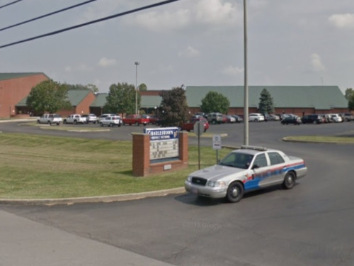 |
Charlestown Middle School Elev: 592' |
CMS073A | Bethlehem-Lexington | 73 | 3662 | 50 | 14% | 3+ | |
| CMS055A | Bethlehem-New Washington | 55 | 2867 | 52 | - | 4 | |||
| CMS079A | Hanover | 79 | 2804 | 35 | - | 3 | |||
| CMS047A | Marble Hill | 79 | 2266 | 48 | - | 3 | |||
| CMS050A | New Washington-Otisco | 50 | 2800 | 56 | 11% | 4 | |||
| CMS061A | New Washington-Lexington | 61 | 2675 | 44 | - | 3 | |||
| CMS041A | Otisco | 41 | 2176 | 53 | - | 3 | |||
| CMS027A | Otisco Shortcut | 27 | 1276 | 47 | - | 3 | |||
| CMS060A | Paynesville | 60 | 2780 | 46 | - | 3 | |||
| CMS038A | Paynesville Shortcut | 38 | 1979 | 52 | - | 3 | |||
| STARTING LOCATION | CUE SHEET |
DOWN LOAD |
ROUTE NAME | DIST | GAIN | FT/ MILE |
MAX GRADE |
TER | |
 |
Corydon Culvers Elev: 643' |
COR040A | Bradford 40 | 40 | 983 | 24 | - | 1+ | |
| COR050A | Bradford 50 | 50 | 1902 | 38 | - | 2 | |||
| #COR025A | Culvers - Short | 25 | 971 | 39 | - | 2 | |||
| COR033A | Culvers - Medium | 33 | 1288 | 39 | - | 2 | |||
| COR040B | Culvers - Long | 40 | 1554 | 39 | - | 2 | |||
| STARTING LOCATION | CUE SHEET |
DOWN LOAD |
ROUTE NAME | DIST | GAIN | FT/ MILE |
MAX GRADE |
TER | |
 |
Covered Bridge Elev: 509' |
COV030A | Blue Lick | 30 | 1030 | 35 | - | 2 | |
| COV025A | Caney Road | 25 | 952 | 36 | - | 2 | |||
| COV024A | Memphis | 24 | 825 | 34 | - | 2 | |||
| STARTING LOCATION | CUE SHEET |
DOWN LOAD |
ROUTE NAME | DIST | GAIN | FT/ MILE |
MAX GRADE |
TER | |
 |
East End Crossing Elev: 532' |
EEX036A | Charlestown | 36 | 1351 | 37 | - | 2 | |
| EEX051A | Henryville | 51 | 2190 | 43 | - | 3 | |||
| EEX025A | Lewis & Clark | 25 | 1090 | 44 | - | 3 | |||
| STARTING LOCATION | CUE SHEET |
DOWN LOAD |
ROUTE NAME | DIST | GAIN | FT/ MILE |
MAX GRADE |
TER | |
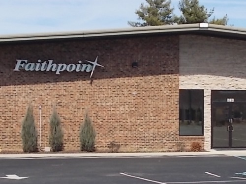 |
Faithpoint Church Park in spaces nearest Hwy 150. Elev: 831' |
FTP035A | Faithpoint - Long | 35 | 2135 | 61 | 11% | 4 | |
| FTP029A | Faithpoint - Medium | 29 | 1769 | 61 | 11% | 4 | |||
| FTP026A | Faithpoint - Short | 26 | 1581 | 61 | 11% | 4 | |||
| STARTING LOCATION | CUE SHEET |
DOWN LOAD |
ROUTE NAME | DIST | GAIN | FT/ MILE |
MAX GRADE |
TER | |
 |
Floyd Central High School Elev: 766' |
FCH024A | Bradford | 24 | 1600 | 62 | 9% | 4 | |
| FCH035A | Charles Davis (to No. Harrison Schools) | 35 | 1511 | 43 | 4 | ||||
| FCH025A | Charles Davis Shortcut | 25 | 1139 | 45 | 4 | ||||
| FCH034A | Corydon-Ramsey Road | 34 | 1600 | 62 | 9% | 4 | |||
| FCH045A | Depauw | 45 | 2947 | 68 | 9% | 4 | |||
| FCH023A | Depauw Shortcut | 24 | 1293 | 55 | 4 | ||||
| FCH024B | Farmers-Nadorff | 24 | 1319 | 55 | 10% | 3+ | |||
| FCH040A | Huber Winery | 40 | 2242 | 55 | 11% | 3+ | |||
| FCH062A | Huber Winery Extension | 62 | 3370 | 54 | 11% | 3+ | |||
| FCH056A | Milltown Meander | 56 | 2853 | 51 | 3+ | ||||
| FCH029A | Milltown Meander Shortcut | 29 | 1782 | 60 | 11% | 4 | |||
| FCH026A | Oak Park | 26 | 1600 | 62 | 9% | 4 | |||
| FCH097A | Salem Century | 97 | 4367 | 45 | 4 | ||||
| FCH030A | Turkey Farm | 30 | 1870 | 62 | 9% | 4 | |||
| STARTING LOCATION | CUE SHEET |
DOWN LOAD |
ROUTE NAME | DIST | GAIN | FT/ MILE |
MAX GRADE |
TER | |
|
Floyd Co. 4-H Fairgrounds Elev: 474' |
FCF034A | Huber's | 34 | 1909 | 57 | 4+ | |||
| FCF084A | Salem | 84 | 4487 | 53 | 4+ | ||||
| FCF023A | Starlight | 23 | 1498 | 65 | 4+ | ||||
| STARTING LOCATION | CUE SHEET |
DOWN LOAD |
ROUTE NAME | DIST | GAIN | FT/ MILE |
MAX GRADE |
TER | |
 |
Forest Discovery Center Elev: 829' |
FDC064A | Harvest H.B.T. 2005-16, Full Tour | 64 | 3122 | 49 | 10% | 3+ | |
| FDC041A | Harvest H.B.T. 2005-16, Medium | 40 | 2001 | 49 | 10% | 3+ | |||
| FDC025A | Harvest H.B.T. 2005-16, Short | 25 | 1139 | 45 | 10% | 3+ | |||
| STARTING LOCATION | CUE SHEET |
DOWN LOAD |
ROUTE NAME | DIST | GAIN | FT/ MILE |
MAX GRADE |
TER | |
 |
Garry Cavan Park a.k.a. "Edwardsville Park" Elev: 843' |
GCP020A | Angel Run | 20 | - | - | - | 4 | |
| GCP036A | Corydon (Big Indian) | 36 | 1512 | 41 | - | 3+ | |||
| GCP026A | Crandall (Tee Road) | 26 | 1604 | 63 | 9% | 4 | |||
| GCP062A | Laconia | 62 | 2367 | 38 | 12% | 3+ | |||
| GCP078A | Leavenworth Overlook | 78 | 4683 | 60 | - | 4+ | |||
| GCP052A | Leavenworth Overlook Shortcut | 52 | 2494 | 48 | - | 4+ | |||
| GCP027A | Locust Point | 27 | 1560 | 58 | 10% | 4 | |||
| GCP065A | Martinsburg | 65 | 3215 | 50 | - | 4 | |||
| GCP050A | Martinsburg Shortcut | 50 | 2977 | 60 | - | 4 | |||
| GCP021A | Mr. Tee (Road) | 21 | 1063 | 50 | 6% | 3 | |||
| GCP028A | New Middletown | 28 | 1187 | 42 | 10% | 4 | |||
| GCP029A | New Middletown (Old Route) | 29 | 1682 | 58 | 10% | 4 | |||
| GCP035A | New Middletown Extension | 35 | 1303 | 38 | 10% | 4 | |||
| GCP035B | New Middletown Extension (Old Route) | 35 | 2047 | 58 | 10% | 4 | |||
| GCP024A | Turley Road | 24 | 1398 | 58 | 10% | 4 | |||
| STARTING LOCATION | CUE SHEET |
DOWN LOAD |
ROUTE NAME | DIST | GAIN | FT/ MILE |
MAX GRADE |
TER | |
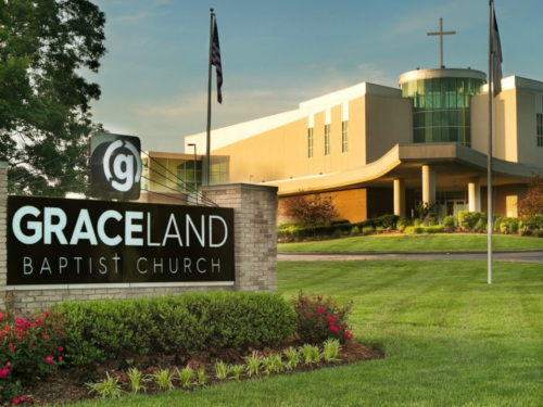 |
Graceland Baptist Church Elev: 485' |
GRC051A | East End Bridge | 51 | 1611 | 32 | - | 3 | |
| GRC041A | Deam Lake | 41 | 1981 | 49 | 3 | ||||
| GRC033A | Memphis | 33 | 1389 | 43 | 3 | ||||
| GRC025A | Stricker Loop | 25 | 1004 | 40 | 3 | ||||
| STARTING LOCATION | CUE SHEET |
DOWN LOAD |
ROUTE NAME | DIST | GAIN | FT/ MILE |
MAX GRADE |
TER | |
 |
Greenville Elem. School Elev: 834' |
GVE100A | Paoli / Hoosier Nat'l. Forest | 100 | 6756 | 67 | 12% | 4+ | |
| STARTING LOCATION | CUE SHEET |
DOWN LOAD |
ROUTE NAME | DIST | GAIN | FT/ MILE |
MAX GRADE |
TER | |
  |
Henryville High School I-65 Exit 19 Elev: 510' Also: Clark State Forestry 0.6 mile North of the School on Hwy 31. |
HSF039A | Beagle Club | 39 | 1693 | 44 | - | 3+ | |
| HSF083A | Brownstown / Starve Hollow SRA | 83 | 2378 | 29 | - | 3+ | |||
| HSF061A | Canton | 61 | 2720 | 45 | - | 4 | |||
| HSF025A | Clark Forest North 25 (Taylor Mill) |
25 | 669 | 27 | - | 2 | |||
| HSF036A | Clark Forest North 35 (Taylor Mill) |
36 | 987 | 28 | - | 2 | |||
| HSF050A | Clark Forest 50 |
50 | 1317 | 26 | 3% | 2 | |||
| HSF066B | Clark Forest 66 |
66 | 1943 | 30 | 4% | 2 | |||
| HSF080A | Clark Forest 80 |
80 | 1698 | 21 | 2% | 1 | |||
| HSF066A | Deputy Pike | 66 | 2591 | 39 | - | 3 | |||
| HSF086A | Leota-Deputy-Hanover | 86 | 2623 | 31 | - | 3 | |||
| HSF061B | Leota-Pekin-Borden | 61 | 2416 | 40 | - | 4 | |||
| HSF042A | Marshfield (Great Train Robbery) |
42 | 2060 | 49 | - | 3+ | |||
| HSF049A | Scottsburg |
49 | 1360 | 28 | - | 2 | |||
| HSF088A | Seymour | 88 | 2340 | 27 | 9% | 2+ | |||
| HSF098A | Sparksville Bridge | 98 | 3759 | 38 | 10% | 2+ | |||
| HSF100A | 3 Covered Bridges |
100 | 2966 | 29 | 9% | 2+ | |||
| HSF054A | 3 Covered Bridges Shortcut |
54 | 1682 | 31 | - | 2 | |||
| HSF100B | Washington Century | 100 | 5000 | 50 | 12% | 3+ | |||
| HSF049B | Washington Century Shortcut | 49 | 2425 | 50 | - | 3+ | |||
| HSF057A | Werewolf Lane | 57 | 2846 | 50 | - | 3+ | |||
| STARTING LOCATION | CUE SHEET |
DOWN LOAD |
ROUTE NAME | DIST | GAIN | FT/ MILE |
MAX GRADE |
TER | |
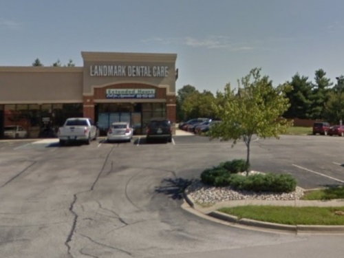 |
Lafollette Station (Landmark Dental) Elev: 777' |
LMD026A | Skyline Hills | 26 | 1438 | 56 | 10% | 4 | |
| LMD029A | Skyline Hills - Starlight | 29 | 1635 | 56 | 10% | 4 | |||
| LMD034A | Skyline Hills - Louis Smith | 34 | 1904 | 56 | 10% | 4 | |||
| STARTING LOCATION | CUE SHEET |
DOWN LOAD |
ROUTE NAME | DIST | GAIN | FT/ MILE |
MAX GRADE |
TER | |
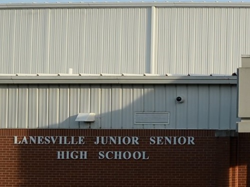 |
Lanesville Schools Elev: 725' |
LAN054A | Chain Breaker, The | 54 | 3916 | 72 | 14% | 4+ | |
| LAN057A | Chain Breaker w/ Valley View Option | 58 | 4176 | 72 | 14% | 4+ | |||
| LAN062A | Elizabeth | 62 | 2261 | 36 | - | 3+ | |||
| LAN040A | Elizabeth Shortcut | 40 | 1909 | 48 | 9% | 3 | |||
| LAN033A | Gethsemane Church | 33 | 2092 | 63 | 10% | 4 | |||
| LAN068A | Laconia | 68 | 4057 | 59 | 12% | 4+ | |||
| LAN097A | New Amsterdam Century | 97 | 3726 | 38 | - | 3+ | |||
| LAN080A | New Amsterdam Shortcut #1 | 80 | 4166 | 52 | 8% | 3 | |||
| LAN065A | New Amsterdam Shortcut #2 | 65 | 3243 | 50 | 9% | 3 | |||
| LAN024A | New Middletown North Loop | 24 | 932 | 39 | - | 3+ | |||
| LAN026A | New Middletown South Loop | 26 | 1127 | 43 | - | 3 | |||
| LAN040B | Union Chapel | 40 | 1288 | 33 | - | 3 | |||
| LAN025A | Lanesville 25 | 25 | 807 | 33 | 5% | 2 | |||
| LAN030A | Lanesville 30 | 30 | 1355 | 33 | 6% | 3 | |||
| STARTING LOCATION | CUE SHEET |
DOWN LOAD |
ROUTE NAME | DIST | GAIN | FT/ MILE |
MAX GRADE |
TER | |
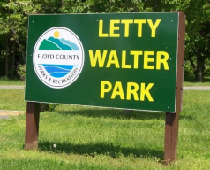 |
Letty Walter Park Elev: 801' |
LWP030A | Huber's Winery | 30 | 1737 | 59 | - | 4 | |
| STARTING LOCATION | CUE SHEET |
DOWN LOAD |
ROUTE NAME | DIST | GAIN | FT/ MILE |
MAX GRADE |
TER | |
 |
(Love's) Memphis Travel Stop Park in back by the gas sign. I-65 Exit 16 Elev: 540' |
MLT040A | Big Ox (Chief Amo�chk) | 40 | 1472 | 37 | - | 3+ | |
| MLT064A | Canton, Reverse | 64 | 2931 | 46 | - | 4 | |||
| MLT031A | County Line Road | 31 | 1285 | 41 | - | 3 | |||
| MLT063A | Crothersville | 63 | 2232 | 35 | - | 3 | |||
| MLT038A | Crothersville Shortcut | 38 | 1624 | 43 | - | 3 | |||
| MLT033A | Half Dragon | 33 | 1887 | 56 | 16% | 4+ | |||
| MLT069A | Hanover Out & Back | 69 | 2438 | 36 | - | 3 | |||
| MLT025A | Henryville | 25 | 991 | 40 | - | 3 | |||
| MLT038B | Lexington | 38 | 1979 | 52 | 15% | 3+ | |||
| MLT050A | New Washington | 50 | 2896 | 57 | - | 4 | |||
| MLT052A | Old Palmyra Road | 53 | 2079 | 39 | - | 3 | |||
| MLT040B | Pekin | 40 | 1543 | 39 | - | 3+ | |||
| MLT045A | Pekin Out & Back | 45 | 1566 | 34 | 8% | 2+ | |||
| MLT026A | Pixley Plunge | 26 | 1182 | 46 | - | 3+ | |||
| MLT060A | Purple Dragon | 61 | 3497 | 57 | 16% | 4+ | |||
| MLT040C | Scottsburg | 40 | 1650 | 41 | - | 3 | |||
| MLT037A | Split Stump | 37 | 1578 | 43 | - | 3 | |||
| MLT026B | Split Stump Shortcut | 26 | 1057 | 41 | - | 3 | |||
| MLT055A | Washington Loop | 55 | 2825 | 51 | 10% | 3+ | |||
| STARTING LOCATION | CUE SHEET |
DOWN LOAD |
ROUTE NAME | DIST | GAIN | FT/ MILE |
MAX GRADE |
TER | |
 |
Mr. Hardware Georgetown / I-64 Exit 118 Elev: 859' |
GTN028A | Georgetown Loop | 28 | 1680 | 59 | 11% | 4 | |
| GTN020A | Georgetown 20 | 20 | 1055 | 54 | 7% | 3 | |||
| STARTING LOCATION | CUE SHEET |
DOWN LOAD |
ROUTE NAME | DIST | GAIN | FT/ MILE |
MAX GRADE |
TER | |
  |
New Albany Hampton Inn Park on Market Street. Elev: 450' Scribner Middle School Elev: 462' |
NAL111A | Caves Century+ | 111 | 6333 | 57 | - | 4+ | |
| NAL061A | Caves Metric | 61 | 3106 | 51 | - | 4+ | |||
| NAL066A | Corydon Exploration | 66 | 3886 | 59 | 11 | 4 | |||
| NAL040A | Corydon #1 (Hotel/Big Indian) | 40 | 2185 | 55 | - | 4 | |||
| NAL039A | Corydon #2 (Scribner MS/Quarry) | 39 | 2443 | 63 | 10% | 4 | |||
| NAL039B | Crandall | 39 | 2470 | 63 | 9% | 4 | |||
| NAL086A | Laconia | 86 | 3694 | 43 | 12% | 4+ | |||
| NAL051A | Leavenworth (1-Way) | 51 | 3287 | 64 | 12% | 4+ | |||
| NAL101A | Milltown Century | 101 | 5740 | 57 | - | 4+ | |||
| NAL059A | Milltown Century Shortcut #1 | 59 | 3449 | 58 | - | 4 | |||
| NAL043A | Milltown Century Shortcut #2 | 42 | 2583 | 62 | - | 4 | |||
| NAL075A | Natural Selection | 75 | 4354 | 58 | - | 4+ | |||
| NAL100A | New Amsterdam Century | 100 | 4737 | 48 | - | 4 | |||
| NAL059B | New Amsterdam Shortcut #1 | 59 | 3019 | 51 | - | 4 | |||
| NAL033A | New Amsterdam Shortcut #2 | 33 | 2011 | 61 | - | 4 | |||
| NAL042A | New Middletown | 42 | 2500 | 59 | 13% | 4+ | |||
| NAL047A | New Middletown Extension | 47 | 2500 | 52 | 13% | 4+ | |||
| NAL103A | Rosewood River Ramble Century | 103 | 5399 | 53 | - | 4+ | |||
| NAL100B | Salem Century | 100 | - | - | - | 4 | |||
| NAL062A | Salem Metric | 62 | - | - | - | 4 | |||
| NAL064A | Valley View Metric | 64 | 3279 | 51 | - | 4+ | |||
| NAL054A | Valley View | 54 | 3009 | 56 | - | 4+ | |||
| STARTING LOCATION | CUE SHEET |
DOWN LOAD |
ROUTE NAME | DIST | GAIN | FT/ MILE |
MAX GRADE |
TER | |
 |
1st Harrison Bank Palmyra US 150 & IN 135 Elev: 774' |
PLA099A | Bedford Century | 99 | 5488 | 55 | 10% | 3+ | |
| PLA050A | Bedford Shortcut | 50 | 1925 | 39 | - | 3+ | |||
| PLA112A | Jug Rock Century (Shoals) | 112 | 5300 | 46 | - | 4 | |||
| PLA064A | Orleans Metric | 64 | 2476 | 38 | - | 4 | |||
| STARTING LOCATION | CUE SHEET |
DOWN LOAD |
ROUTE NAME | DIST | GAIN | FT/ MILE |
MAX GRADE |
TER | |
 |
Perrin Park Elev: 469' |
PER040A | Charlestown | 40 | 1094 | 28 | - | 2 | |
| PER030A | Charlestown Shortcut | 30 | 960 | 32 | - | 2 | |||
| PER025A | Corydon Pike | 25 | 668 | 26 | - | 2 | |||
| PER035A | Corydon Pike Turnaround | 35 | 1062 | 30 | - | 2 | |||
| PER020A | River Ridge | 20 | 528 | 26 | - | 2 | |||
| STARTING LOCATION | CUE SHEET |
DOWN LOAD |
ROUTE NAME | DIST | GAIN | FT/ MILE |
MAX GRADE |
TER | |
 |
P.R.P. Fire Station #6 (Greenwood Boat Dock) Elev: 440' |
PRP030A | Jefferson Memorial Forest - Short | 30 | 800 | 27 | - | 2 | |
| PRP039A | Jefferson Memorial Forest - Medium | 39 | 946 | 24 | - | 2 | |||
| PRP042A | Jefferson Memorial Forest - Long | 42 | 1383 | 33 | 7% | 2 | |||
| PRP056A | Jefferson Memorial Forest - Xtra Long | 56 | 2099 | 37 | 7% | 2 | |||
| STARTING LOCATION | CUE SHEET |
DOWN LOAD |
ROUTE NAME | DIST | GAIN | FT/ MILE |
MAX GRADE |
TER | |
 |
River Ridge Subway / Coffee Crossing Elev: 518' |
RVR035A | Charlestown | 35 | 1531 | 44 | - | 3 | |
| RVR048A | Charlestown Extension | 48 | 1979 | 41 | - | 3 | |||
| RVR016A | Lewis & Clark | 16 | 822 | 43 | - | 3 | |||
| RVR025A | Utica | 25 | 638 | 43 | - | 2 | |||
| STARTING LOCATION | CUE SHEET |
DOWN LOAD |
ROUTE NAME | DIST | GAIN | FT/ MILE |
MAX GRADE |
TER | |
 |
Scott County YMCA Elev: 548' |
SCY024A | Crothersville | 24 | 397 | 16 | - | 1 | |
| SCY040A | Hardy Lake | 40 | 842 | 21 | - | 1 | |||
| SCY051A | Little York | 51 | 1277 | 25 | - | 1 | |||
| SCY031A | Tampico | 31 | 531 | 17 | - | 1 | |||
| STARTING LOCATION | CUE SHEET |
DOWN LOAD |
ROUTE NAME | DIST | GAIN | FT/ MILE |
MAX GRADE |
TER | |
 |
St. Mary of the Knobs Elev: 883' |
SMC041A | Greenville | 41 | 2267 | 56 | - | 4 | |
| SMC027A | Huber's Winery (Greenville Shortcut) | 27 | 1425 | 53 | - | 3 | |||
| STARTING LOCATION | CUE SHEET |
DOWN LOAD |
ROUTE NAME | DIST | GAIN | FT/ MILE |
MAX GRADE |
TER | |
 |
St. John Elem. School Starlight Elev: 935' |
STL055A | Starlight Ramble | 55 | 3742 | 68 | 14% | 4+ | |
| STARTING LOCATION | CUE SHEET |
DOWN LOAD |
ROUTE NAME | DIST | GAIN | FT/ MILE |
MAX GRADE |
TER | |
 |
St. Michael's Church Bradford Elev: 827' |
BSM025A | Lost Creek | 25 | 940 | 38 | - | 2 | |
| BSM021A | St Michaels 21 | 21 | 831 | 36 | 4% | 2 | |||
| BSM029A | St Michaels 29 | 29 | 1034 | 36 | 4% | 2 | |||
| BSM033A | Bradford 33 | 33 | 1174 | 36 | 3% | 2 | |||
| STARTING LOCATION | CUE SHEET |
DOWN LOAD |
ROUTE NAME | DIST | GAIN | FT/ MILE |
MAX GRADE |
TER | |
 |
Silver Creek High School Renz Avenue Elev: 478' |
SCH023A | Allentown | 23 | 1121 | 49 | - | 3+ | |
| SCH055A | Big Ox (Chief Amo�chk) | 55 | 2365 | 43 | 9% | 3 | |||
| SCH051A | Blue Arrow | 51 | 1780 | 35 | - | 3 | |||
| SCH054A | Borden Triple Treat | 54 | 2626 | 49 | - | 4+ | |||
| SCH073A | Canton | 73 | 3827 | 53 | - | 4+ | |||
| SCH025B | Charlestown (Through Town) | 25 | - | - | - | 3 | |||
| SCH051B | Charlestown-Henryville | 51 | 2215 | 43 | - | 3 | |||
| SCH026A | Charlestown / Yellow C | 26 | 976 | 38 | 8% | 3 | |||
| SCH034A | Clark State Forestry | 34 | 1521 | 44 | 9% | 3 | |||
| SCH047A | Clark State Forest / Deam Lake | 47 | 1996 | 42 | - | 3 | |||
| SCH085A | Crothersville | 85 | 3016 | 35 | 8% | 2+ | |||
| SCH027A | Deam Lake | 27 | 1105 | 41 | - | 3 | |||
| SCH040A | Deam Lake #2 | 40 | 2030 | 52 | - | 3 | |||
| SCH099A | Deputy Pike | 99 | 3928 | 39 | 9% | 2+ | |||
| SCH059A | Deputy Pike Shortcut | 59 | 2483 | 42 | - | 3 | |||
| SCH033A | Forestry Road (a.k.a. "Mt. Grove 33") | 33 | 1142 | 35 | - | 2+ | |||
| SCH033B | Forestry Road, Reverse (a.k.a. "Mt. Grove 33, Reverse") | 33 | 1142 | 35 | - | 2+ | |||
| SCH025A | Green Arrow | 25 | 1034 | 41 | 8% | 3 | |||
| SCH075A | Hanover | 75 | 2284 | 30 | - | 2+ | |||
| SCH028A | Henryville | 28 | 996 | 35 | - | 3 | |||
| SCH052A | Leota (a.k.a. "Underwood") | 52 | 2333 | 45 | - | 3+ | |||
| SCH056A | Leota Extension (With a store stop at Casey's) | 56 | 2545 | 46 | - | 3+ | |||
| SCH052B | Lexington #1 | 53 | 2535 | 48 | 10% | 3+ | |||
| SCH067A | Lexington #2 | 67 | 2020 | 39 | - | 3 | |||
| SCH063A | Marysville-New Wash.-Otisco | 63 | 1857 | 30 | - | 3 | |||
| SCH024A | Memphis Mountain | 24 | 908 | 38 | 7% | 2 | |||
| SCH026B | Mountain Grove | 26 | 1092 | 42 | 8% | 3 | |||
| SCH026C | Mountain Grove, Reverse, Modified | 26 | 1092 | 42 | 8% | 3 | |||
| SCH028B | Mount Lebanon | 28 | 1090 | 39 | - | 3 | |||
| SCH025C | Mount Lebanon, Reverse | 25 | 932 | 37 | - | 3 | |||
| SCH050A | New Washington | 50 | 2272 | 46 | 14% | 3+ | |||
| SCH056B | Pekin #1 | 56 | 2294 | 41 | - | 3 | |||
| SCH049A | St. Joe-Borden | 49 | 2115 | 44 | - | 4 | |||
| SCH125A | 3 Covered Bridges Double Metric | 125 | 3561 | 28 | - | 3 | |||
| SCH034B | Utica Loop | 34 | 859 | 25 | - | 2 | |||
| SCH026D | Utica Short Loop | 26 | 761 | 30 | - | 2 | |||
| SCH025D | Wilson Switch | 25 | - | - | - | 3 | |||
| SCH025E | Jack Teeple - shorter | 25 | - | - | - | 3 | |||
| SCH032E | Jack Teeple - longer | 32 | - | - | - | 3 | |||
| SCH025F | Jack Teeple Out and Back | 25 | 1006 | 40 | 5% | 3 | |||
| STARTING LOCATION | CUE SHEET |
DOWN LOAD |
ROUTE NAME | DIST | GAIN | FT/ MILE |
MAX GRADE |
TER | |
  |
Speed Memorial Church 328 US Hwy. 31 Elev: 476' Speed Park Hwy 31 & Indiana Ave. Elev: 474' |
ALL ROUTES START AT SPEED MEMORIAL CHURCH UNLESS OTHERWISE INDICATED. | |||||||
| SPD099A | Bethlehem Century | 100 | 3765 | 38 | - | 3+ | |||
| SPD063A | Bethlehem Shortcut | 64 | 2288 | 36 | - | 3+ | |||
| SPD100A | Canton Century | 100 | 4435 | 44 | - | 4 | |||
| SPD066A | Canton Metric | 66 | 2834 | 42 | - | 4 | |||
| SPD036A | Forestry Road | 36 | 1654 | 46 | - | 3 | |||
| SPD104A | Hanover Century | 104 | 3518 | 34 | - | 3 | |||
| SPD059A | Hanover Century Shortcut #1 | 59 | 2069 | 35 | - | 3 | |||
| SPD050A | Hanover Century Shortcut #2 | 50 | 1848 | 37 | - | 3 | |||
| SPD025A | Memphis Railroad | 25 | 904 | 35 | 8% | 2+ | |||
| SPD055A | New Market | 55 | 2573 | 47 | - | 3+ | |||
| SPD047A | New Market - Medium | 47 | 2177 | 46 | - | 3+ | |||
| SPD039A | New Market - Short | 39 | 1763 | 45 | - | 3+ | |||
| SPD102A | St. Joe Century | 102 | 5086 | 50 | - | 4 | |||
| SPD062A | St. Joe Century Shortcut | 62 | 3292 | 53 | - | 4 | |||
| SPD099B | Silver Creek Purple Dragon | 99 | 4266 | 43 | - | 4+ | |||
| SPD067A | Silver Creek Purple Dragon Metric+ | 67 | 2585 | 38 | - | 4+ | |||
| SPD039B | Silver Creek Purple Dragon Shortcut | 39 | 1535 | 39 | - | 4 | |||
| SPD053A | Utica - Clark Forestry | 53 | 2201 | 42 | - | 3 | |||
| STARTING LOCATION | CUE SHEET |
DOWN LOAD |
ROUTE NAME | DIST | GAIN | FT/ MILE |
MAX GRADE |
TER | |
 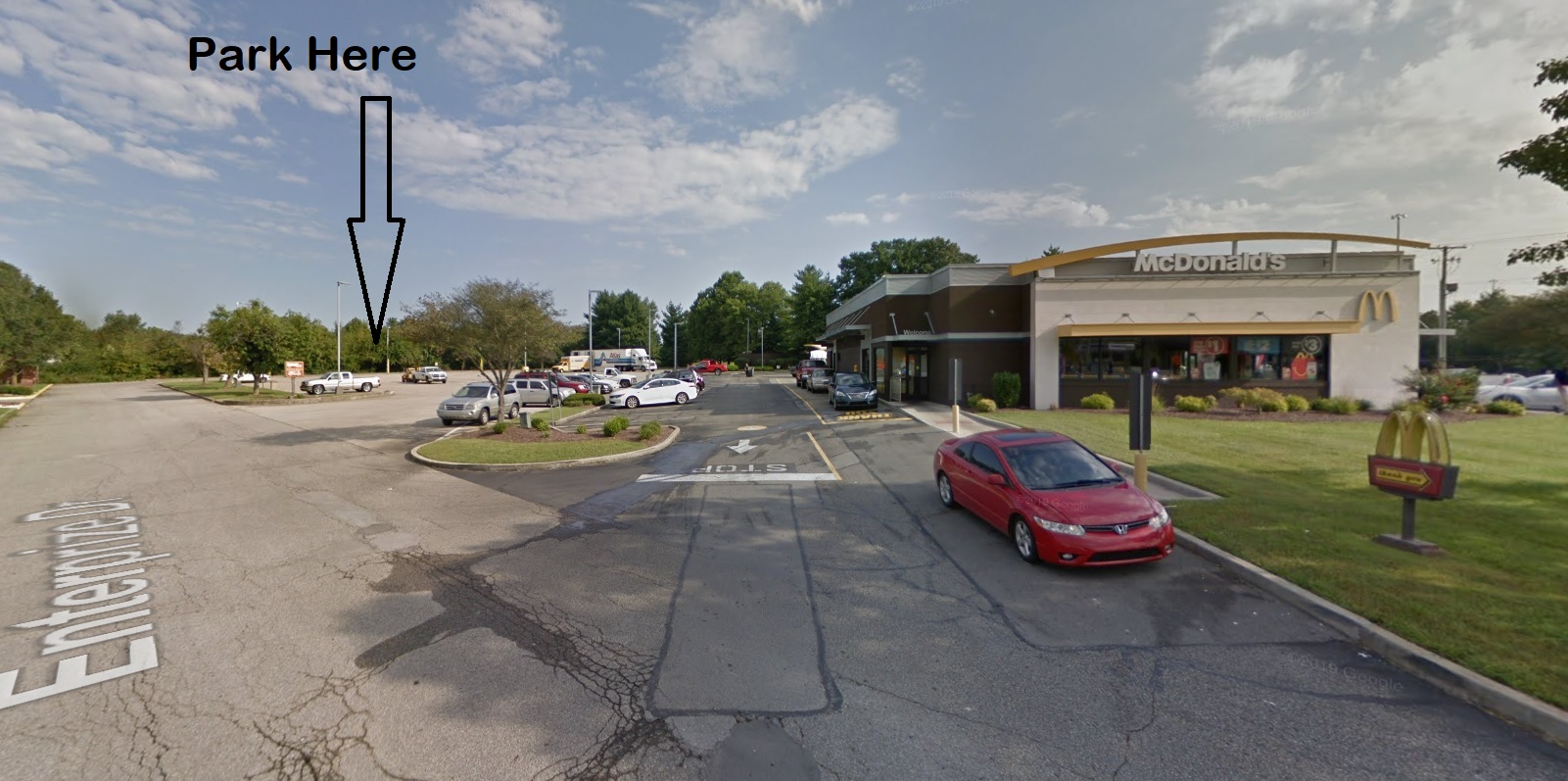 |
Arby's 225 S. Indiana Ave. Elev: 488' McDonald's 102 Enterprise Way Elev: 496' |
ALL ROUTES START AT SELLERSBURG MCDONALDS UNLESS OTHERWISE INDICATED. | |||||||
| MCD040A | Bartle-Borden | 40 | 1932 | 49 | - | 3+ | |||
| MCD063A | Bethlehem | 63 | 2682 | 42 | - | 3+ | |||
| MCD026A | Charlestown McDonald's | 26 | 1017 | 39 | - | 3+ | |||
| MCD039A | Charlestown State Park | 39 | 1752 | 44 | - | 3+ | |||
| MCD037A | Edwardsville | 37 | 1660 | 46 | - | 4 | |||
| MCD044A | Fry | 44 | 3399 | 53 | - | 3 | |||
| MCD064A | Goshen | 64 | 3399 | 53 | - | 3+ | |||
| MCD084A | Hanover | 84 | 2914 | 35 | - | 3+ | |||
| MCD060A | Kettle Bottom | 60 | 2302 | 38 | - | 3 | |||
| MCD061A | Lanesville | 61 | 2933 | 48 | - | 4 | |||
| MCD064B | Leota | 64 | 2809 | 44 | - | 4 | |||
| MCD070A | Lexington #3 | 70 | 2338 | 34 | - | 3 | |||
| MCD063B | Lexington #4 | 63 | 2263 | 36 | - | 3 | |||
| MCD047B | Marysville | 48 | 1786 | 38 | - | 3 | |||
| MCD063C | New Washington #2 | 63 | 2353 | 37 | - | 3+ | |||
| MCD038A | Otisco | 39 | 1436 | 38 | - | 3 | |||
| MCD042A | Patrol Road Loop |
42 | 1286 | 31 | - | 2+ | |||
| MCD057A | Pekin #1-B | 57 | 2323 | 41 | - | 3+ | |||
| MCD058A | Pekin #1-C | 58 | 2186 | 38 | - | 3+ | |||
| MCD057B | Pekin #2 | 57 | 2356 | 41 | - | 3+ | |||
| MCD061B | Pekin #3 | 61 | 2150 | 35 | - | 3+ | |||
| MCD062A | Pekin #3-B | 62 | 1993 | 33 | - | 3 | |||
| MCD058B | Pekin #4 | 58 | 2343 | 41 | - | 4 | |||
| MCD062B | Pekin #5 | 62 | 2441 | 39 | - | 3+ | |||
| MCD040B | Pixley Knob (Down) | 40 | 1754 | 44 | - | 3+ | |||
| MCD062C | Ramsey | 62 | 2899 | 47 | - | 4 | |||
| MCD085A | Salem | 85 | 3315 | 39 | - | 4 | |||
| MCD030A | Spickert Knob | 30 | 1692 | 55 | - | 4+ | |||
| MCD047A | Underwood | 47 | 1479 | 32 | - | 3 | |||
| MCD030B | Underwood Shortcut | 30 | 1129 | 38 | - | 3 | |||
| MCD040C | Wooded Glen | 40 | 1509 | 38 | - | 3+ | |||
| STARTING LOCATION | CUE SHEET |
DOWN LOAD |
ROUTE NAME | DIST | GAIN | FT/ MILE |
MAX GRADE |
TER | |
 |
Utica Park & Community Center Elev: 446' |
UTP026A | Patrol Road | 26 | 1047 | 40 | - | 3 | |
| UTP036A | Charlestown | 36 | 1553 | 43 | - | 3 | |||
| UTP048A | Fox Road | 48 | - | - | - | 3 | |||
| UTP050A | Stricker Road | 50 | 1986 | 40 | - | 3 | |||
| STARTING LOCATION | CUE SHEET |
DOWN LOAD |
ROUTE NAME | DIST | GAIN | FT/ MILE |
MAX GRADE |
TER | |
 |
(So. IN) Visitor Center Elev: 453' |
SIV025A | Utica | 25 | 335 | 14 | - | 1 | |
| STARTING LOCATION | CUE SHEET |
DOWN LOAD |
ROUTE NAME | DIST | GAIN | FT/ MILE |
MAX GRADE |
TER | |
 |
Vissing Park Elev: 521' |
VSP020A | River Ridge | 20 | 651 | 32 | - | 2 | |
| VSP030A | Lewis & Clark | 30 | 1276 | 43 | - | 3 | |||
| VSP037A | Lewis & Clark Extension | 37 | 1424 | 37 | - | 2 | |||
 Selected Invitational Rides |
Hope Ride Century - Hope, IN (Near Columbus) | 100 | 2490 | 25 | - | 1 | |||
| 13 Mile - 25 Mile - 35 Mile - 50 Mile - 58 Mile - Century | |||||||||
| Horsey Hundred - Georgetown, KY | 104 | 5260 | 51 | - | 4 | ||||
| Old Ky Home - Louisville-Bardstown, KY | 101 | 5151 | 51 | - | 4+ | ||||
| RAIN: Ride Across INdiana | 160 | 5684 | 35 | 6% | 2 | ||||
| Redbud Ride - London, KY | 99 | 5874 | 59 | - | 4+ | ||||
| Round Barn Ride - Brownstown, IN | 32 | 925 | 29 | - | 2 | ||||
| 32 Mile - Map | |||||||||
| Strassenfest - Jasper, IN | 65 | 3167 | 49 | 11% | 3+ | ||||
| TOSRV - Columbus, OH | 208 | 4201 | 20 | 7% | 1+ | ||||
|
|||||||||


|
ELEV (Elevation): Elevation of the starting location as indicated at www.zonums.com
(M): A route map is included with the cue sheet. DIST (Distance): Distance is given to the nearest whole mile. There will likely be some variance between cue sheets, route maps and your own odometer. GAIN: Total feet of climbing over the length of the entire route & (average feet-per-mile of climbing). MAX: Maximum uphill grade experienced on this route. TER (Terrain Rating): Ratings are based on a 4 point scale: 1=flat/easy, 4=hilly/challenging. # is assigned based on average feet / mile.
Click here to download Google Earth for viewing 3-D satellite images of the route. Notes: 1) Route data were collected using a Sigma ROX 9.0 and/or 10.0 cycle computer. Multiple readings have been averaged in most cases to ensure greater accuracy. 2) Italicized data indicate estimated figures (from similar rides, on-line mapping resources, etc.). |
||||||||||||||||||||||||

Cue sheets are for informational use only. No representation is made or warranty given as to their content or accuracy. User assumes all risk of use. Cyclists are responsible for their own safety and should always exercise extreme caution when sharing the road with other riders and motorists. SIW assumes no responsibility for any loss or delay resulting from use of these cue sheets.